You want the best and we’re prepared to deliver it. You don’t have to settle for traditional methods. Theta is here. We’ve combined our rich history of land and building surveying, data acquisition and data analysis with a team of technical experts and technology. The results are the services below. Let us know how we can best serve you.

Our Services
Goals & Strategy
Project Analysis
We take extra preparation in the beginning phase of a project, to make sure that the data is collected in a manner that the end product will be what our clients need to accomplish their projects .
Survey & Collection
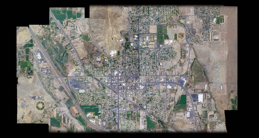
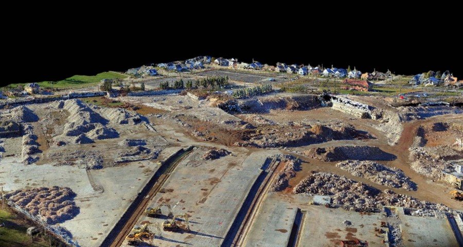
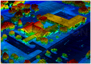
Aerial LiDAR
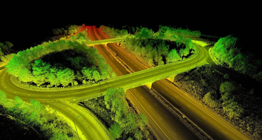
Our Velodyne LiDAR system can capture 750,000 points per second with 1-3 cm of accuracy.
Goals & Strategy
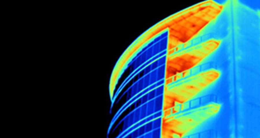
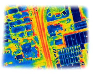
Thermal Imaging
From roof inspections to search and rescue missions, we are here to provide your aerial thermal imaging services.
Survey & Collection
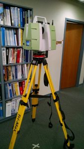
Terrestrial 3D Laser Scanning
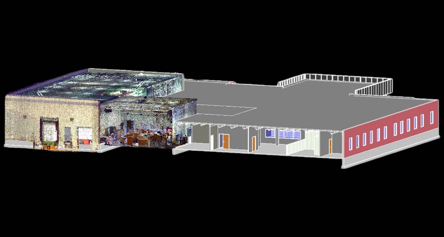
Utilizing our Leica P-20 3D Laser Scanner we can scan 1 million points per second. We can deliver more than just a point cloud. We have in house technicians that can deliver your laser scan in the format you need.
Confined Space Inspection
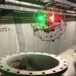
Confined Space Inspection
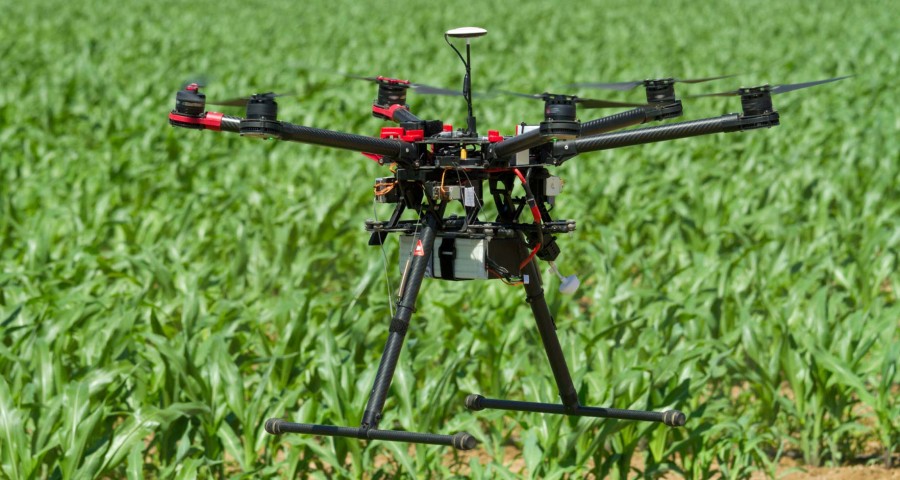
Theta UAV can inspect an internal tank or confined space in a fraction of the time of traditional access methods. Using UAV technology as a screening tool means assets can be inspected quickly, so time consuming and expensive advanced inspection or maintenance activities can be avoided.
Survey & Collection
Inspection Services
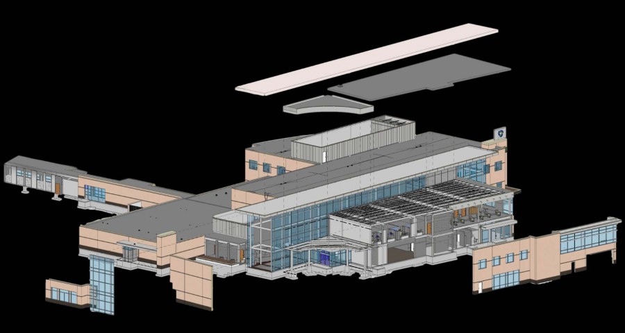
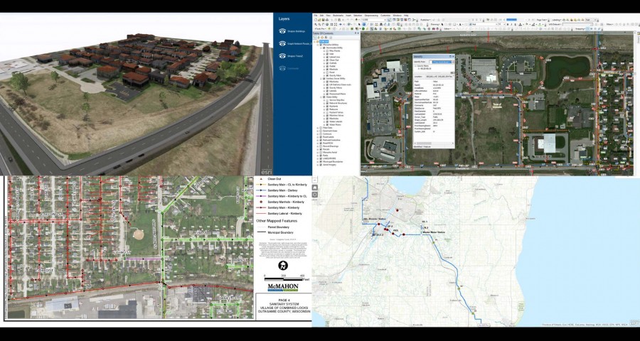
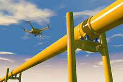
Integrating state of the art technologies, advanced software, and highly trained specialists, Theta UAV delivers the most comprehensive precision inspections in the industry. Theta UAV utilizes GIS, BIM Modeling, 42 Mega Pixel technology, Flir Thermal Imaging products, 6K videography, laser scanning, and an array of industry leading software ensuring a fully customized solution.
