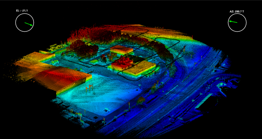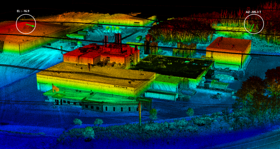
Our Velodyne LiDAR system captures 750,000 points per second. Along with that we can provide 1-3cm of accuracy with our LiDAR scans.
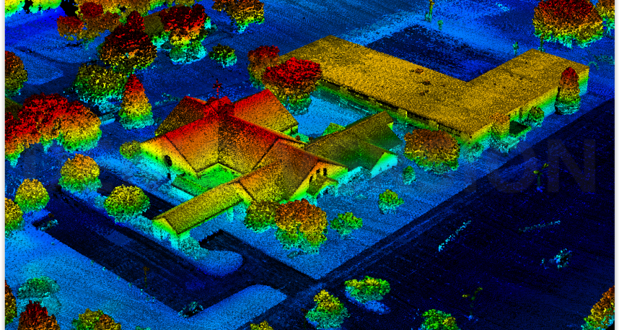
After the data is acquired we won’t just hand you a point cloud and wish you good luck, we will deliver the end product to you in any format that our clients need.
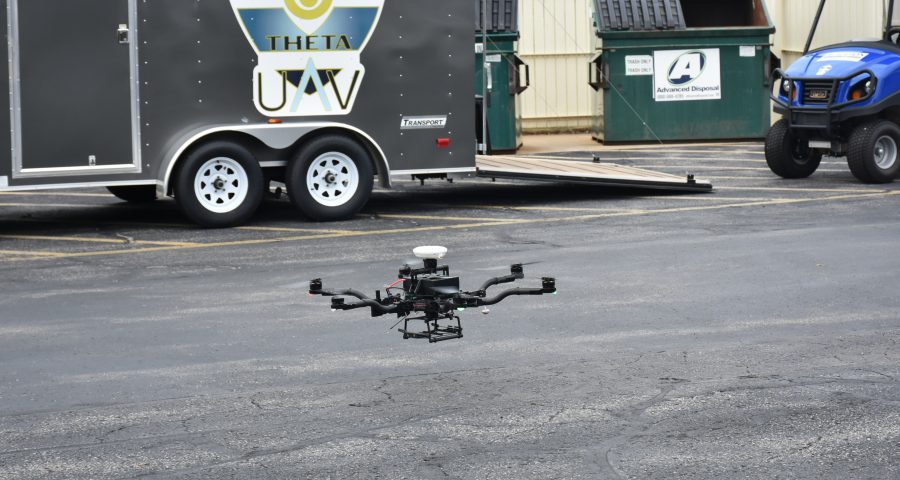
Theta UAV offers a variety of data collection services. These services include: Photogrammetry, Terrestrial 3D laser scanning, LiDAR Solutions, Thermal Imaging, Surface Modeling, Orthophoto Mosaics, Volumetric Analysis, Project Condition Analysis, BIM Modeling, and Facilities Management. We are your one-stop-shop for data acquisition.