We are Theta.
FAA Part 107 | Section 333 | Osha Confined Space Certification


FAA Part 107 | Section 333 | Osha Confined Space Certification
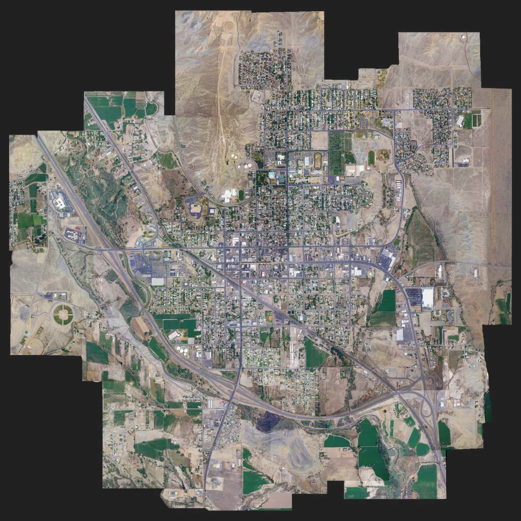
Theta UAV is a data acquisition company utilizing aerial and terrestrial technology. We provide efficient, accurate, safe, and detailed data delivered to our customers on time and to their specifications for projects of any size.
Contact us! Our services fulfill a broad range of needs and applications. We’re passionate and excited to show you: How Theta works.


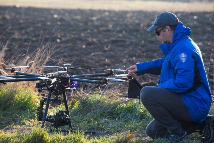
Theta employs highly trained aviation experts because we believe in offering the highest quality of UAV data. Our pilots are Part 107 certified. We have also filed waivers with the FAA to be able to provide services that other companies cannot.
Our UAV Pilots can provide you with many different UAV options to accomplish your data acquisition needs. Here’s a brief list of work they’re used for regularly: Inspections, mining operations, geological mapping, aerial photography, agriculture, real estate, surveys, construction, utilities, pipeline, telecom, railroads, maritime, news media, farming, ranching, forestry, land management, and more.