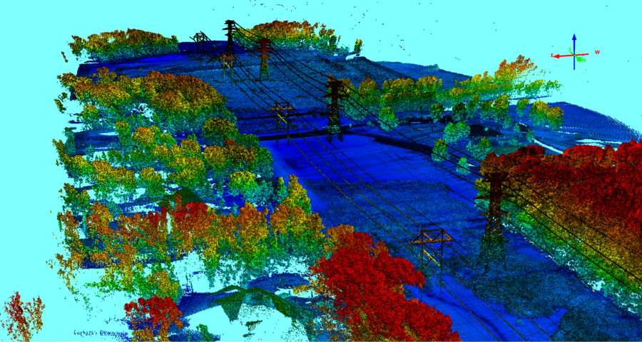
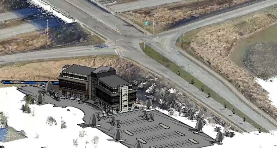
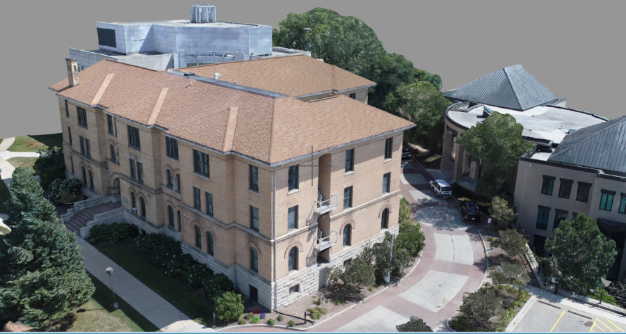
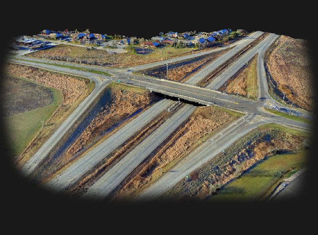
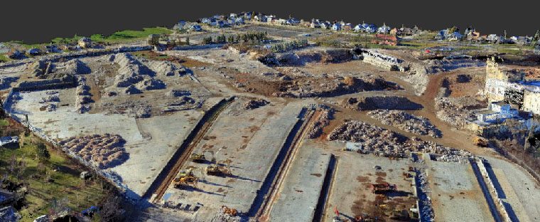
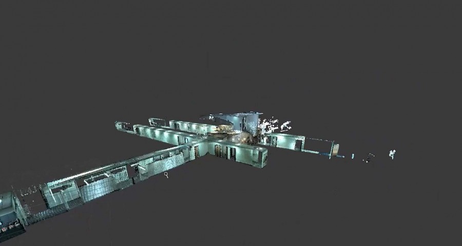
Geospatial analysis is an approach to applying statistical analysis and analytic techniques to data, which has a geographical or spatial aspect. Theta collects this data by deploying project-specific UAVs (Unmanned Aerial Vehicles). GIS (Geographic Information Systems) allows you to visualize the information and data through a mapping environment, while BIM (Building Information Modeling) models a project in the virtual world. These technologies allow you to quantify information and view it in a format to assist in the engineering and design of a project.